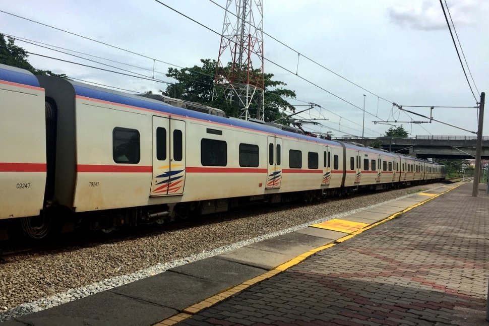
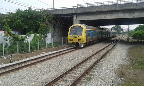
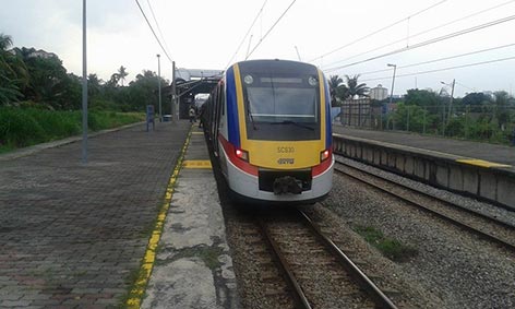
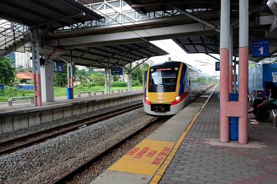
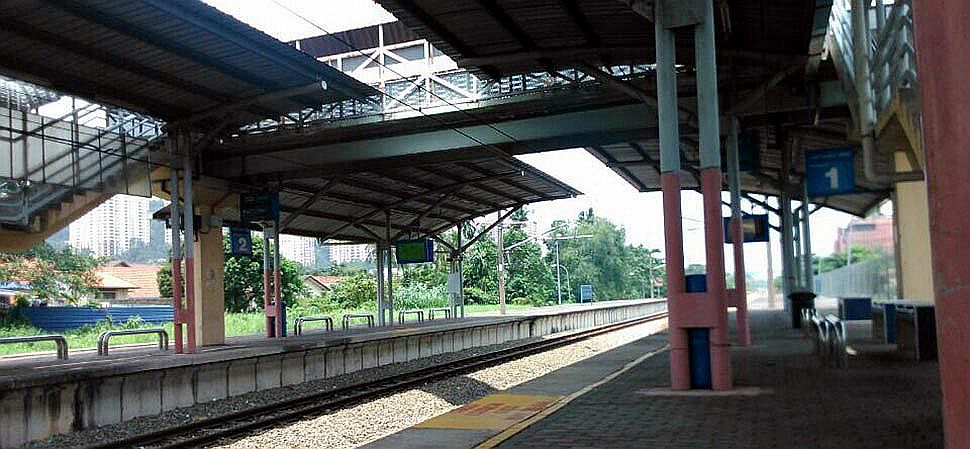
Jalan Templer KTM station is a commuter train station located in Petaling Jaya, Selangor, and served by the KTM Komuter‘s Sentul – Port Klang Route.
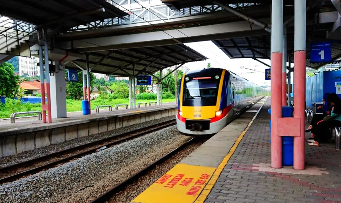
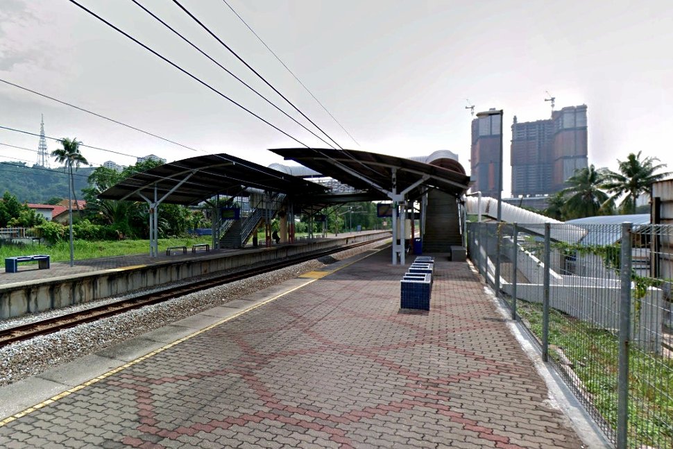
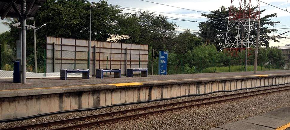
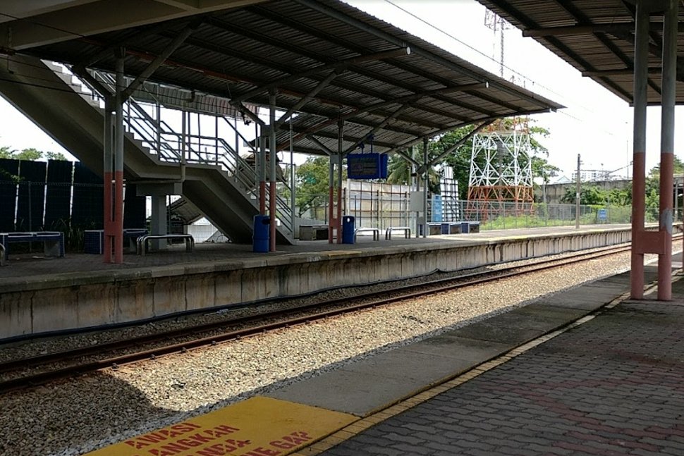
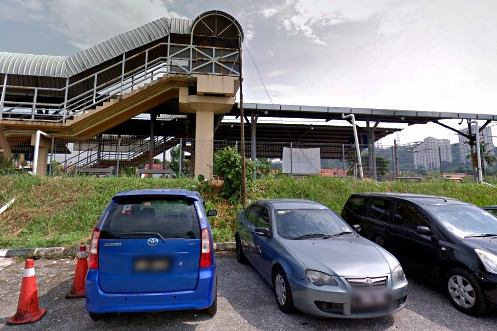
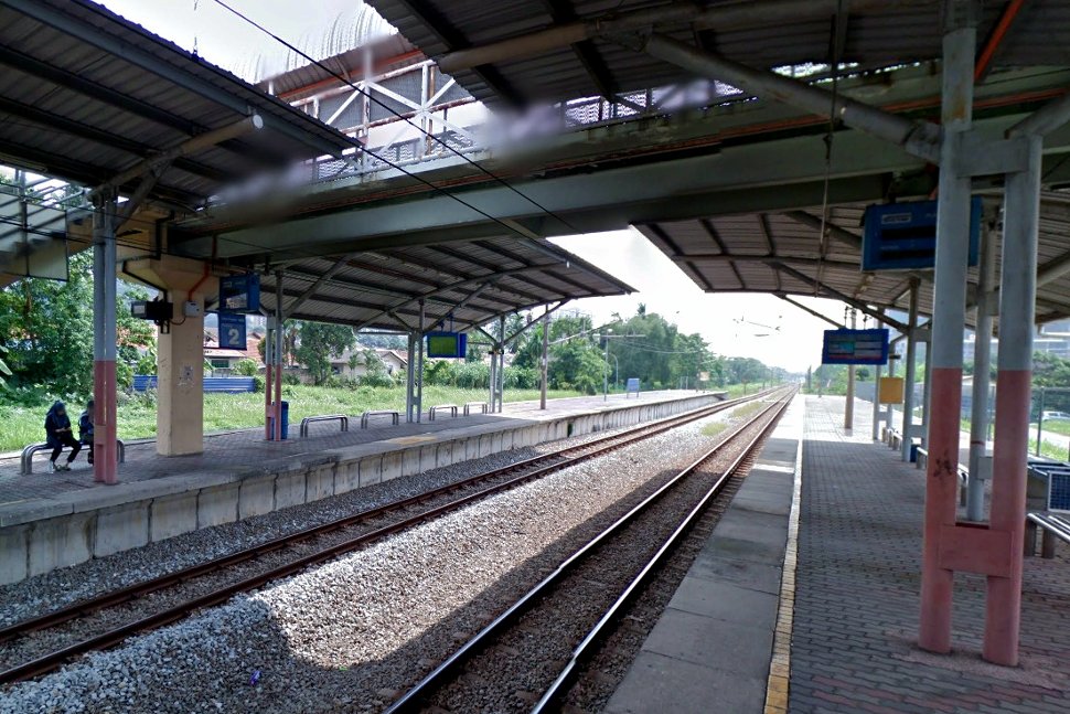
The Jalan Templer station accommodates 2 side platforms with 2 tracks, and parking facility is available near this station.
Jalan Templer is one of most busiest major roads in Petaling Jaya, Selangor. It was the first road built in Petaling Jaya and was simply called “Jalan 1” or Road 1.
The road was named after the former British High Commissioner in Malaya, Sir Gerald Templer.
The station named after the road and was built to cater the traffic in this area and its surroundings.
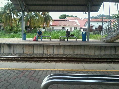
The Jalan Templer station usually busy during rush hours as it is used by worker to reach offices.
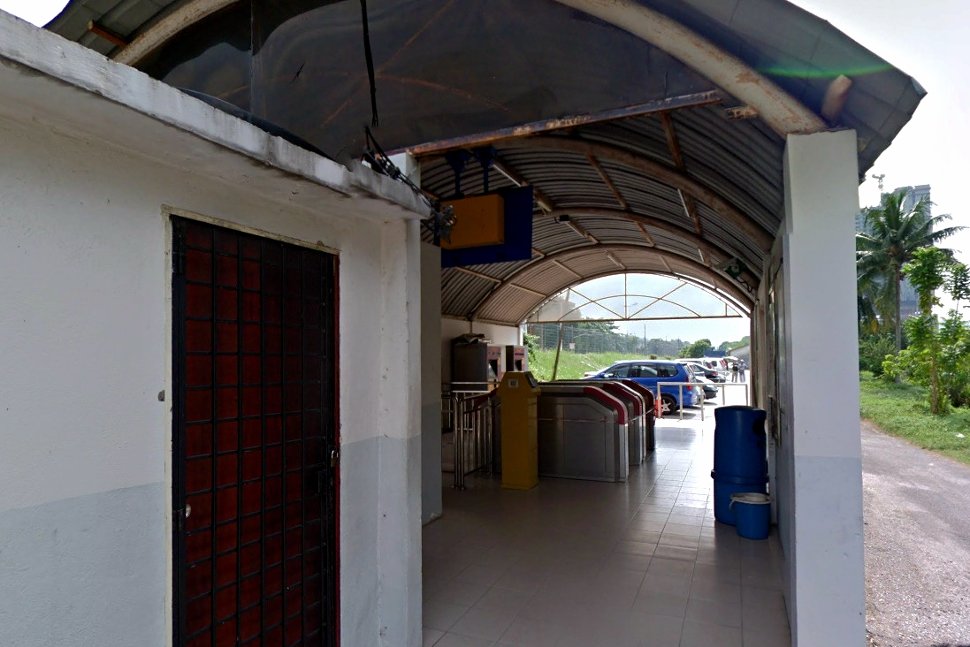
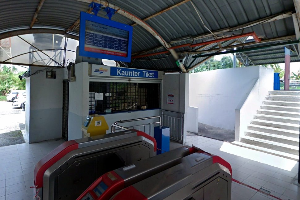
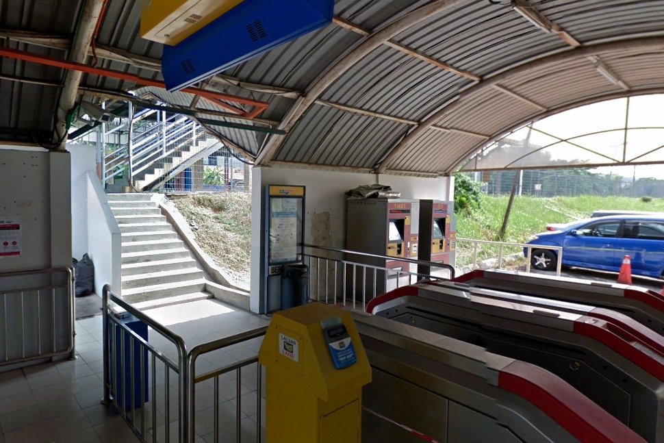
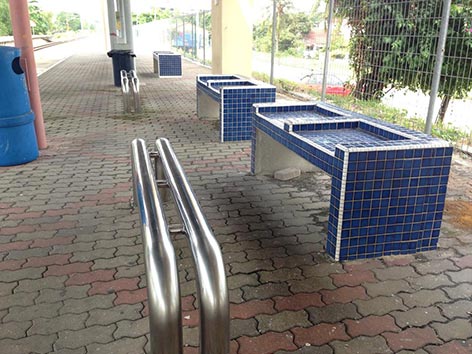
The following facilities and services are available at this station.
- Touch N Go Lane
- Ticket Counter
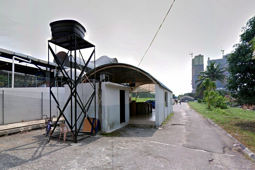
- Parking
- Ticket Vending Machine
The Jalan Templer station is also used by school children as many schools and colleges are situated in this area. The Kolej Kemahiran Tinggi MARA and Bangunan Peladang are within walking distance to this station.
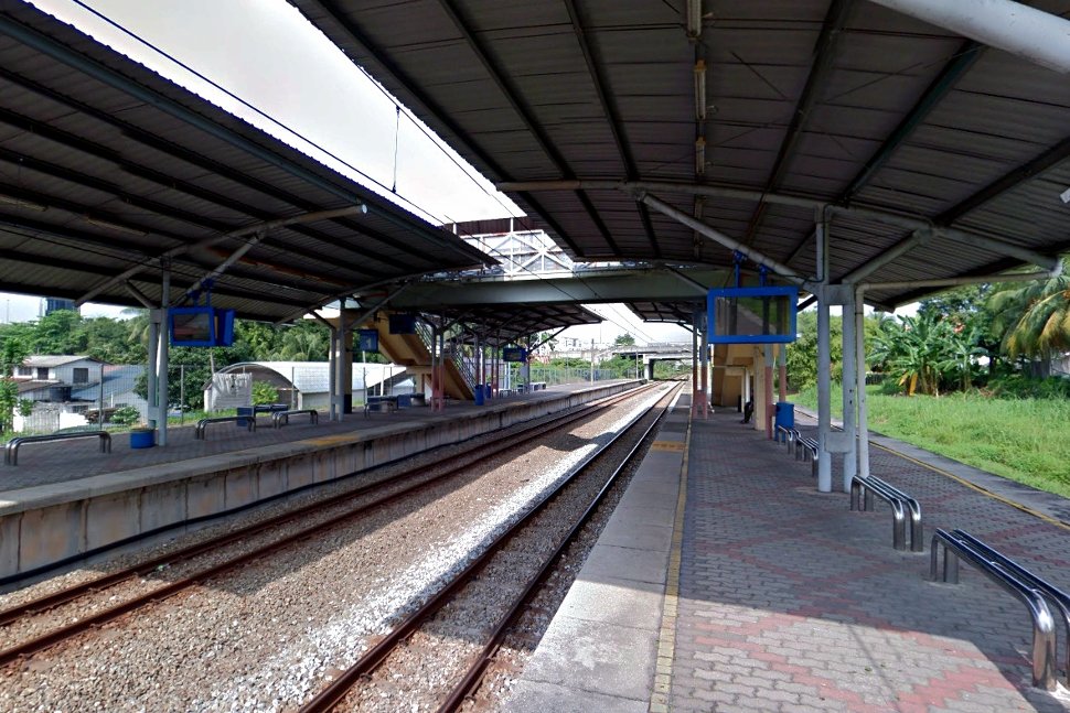
However, at other time, the station is quite deserted. It is advisable to pre-book a taxi before arrival.
Nearest residential properties to this station are Inai Court Apartment and landed houses in Section 1, Section 1A & Section 18.
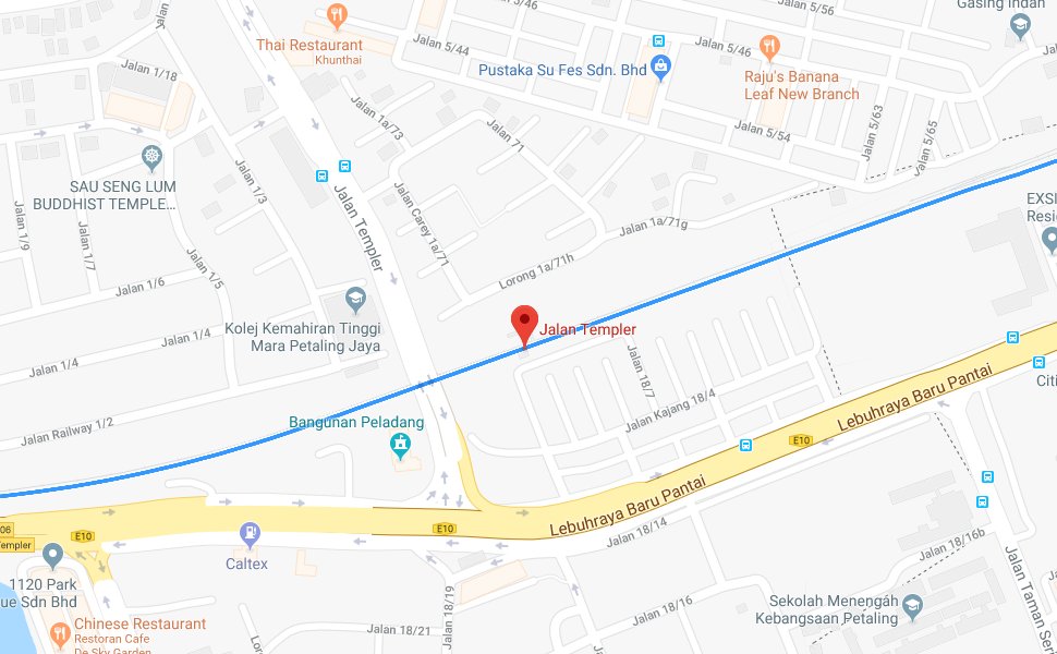
Location of Jalan Templer KTM Station
Jalan Templer KTM station is a commuter train station located in Petaling Jaya, Selangor.
Fact Sheet
| Name | Jalan Templer station (KD05) |
| Address | Perhentian KTMB Jalan Templer, Jalan 18/7 Seksyen 18, 46000 Petaling Jaya, Selangor |
| Hours | 6.00 am – 10.00 pm |
| Reference | Jalan Templer on wikipedia |
| Opened | 1995 |
| Statistics | 2 side platforms |
| Lines | Sentul-Port Klang Route (KTM Komuter), 1995 to present |
Summary of stations for the KTM Komuter
The KTM Komuter is the first electrified commuter train service in Malaysia. Its train network covers more than 270km length of rail tracks and connects 57 stations to provide passengers a convenient local rail service connectivity throughout Kuala Lumpur and surrounding areas of the Klang Valley.
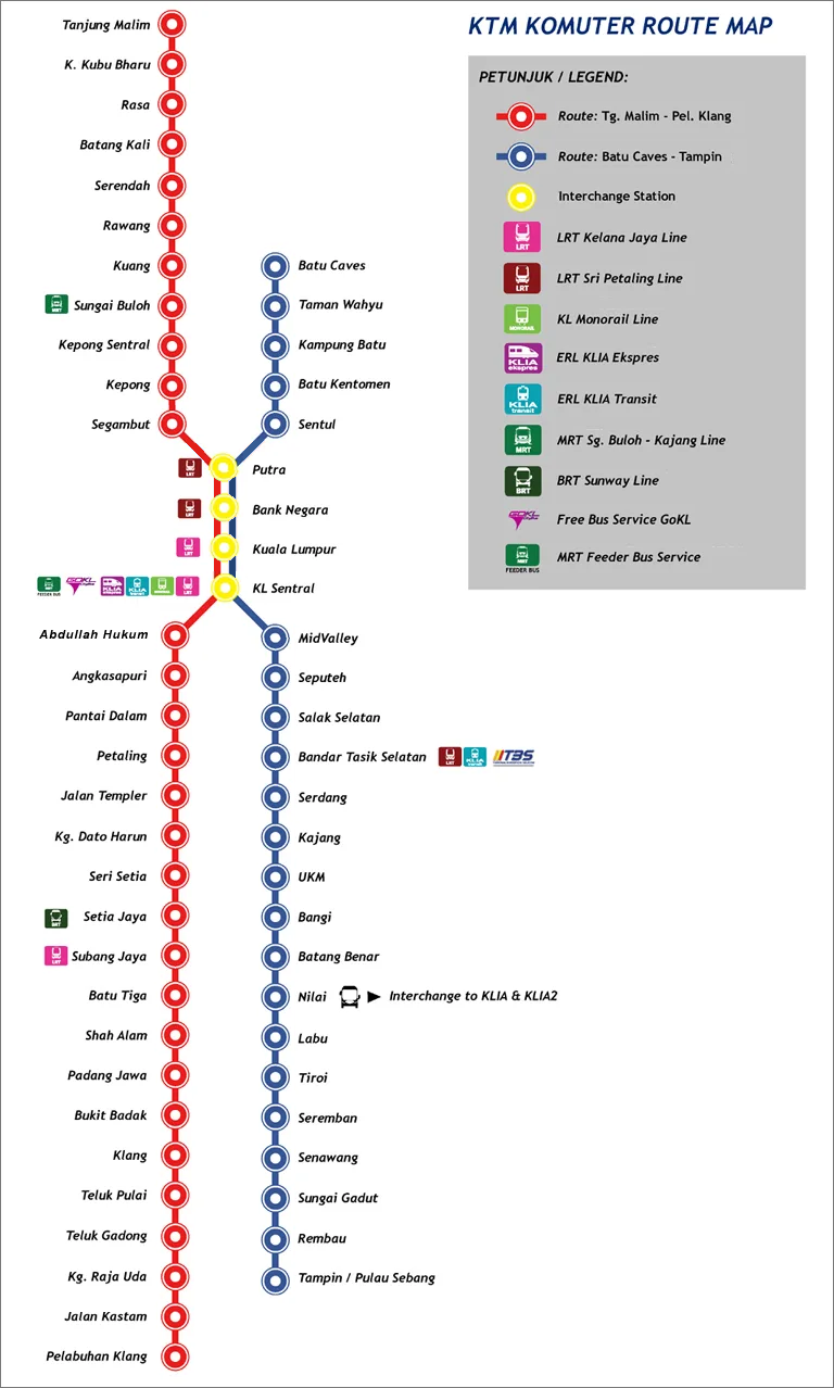
The KTM Komuter network consists of the Tanjung Malim – Port Klang Line and Batu Caves – Tampin / Pulau Sebang Line, plus the new Skypark Link introduced in 2018.
If you are on the KTM Komuter, you can:
- Go to KLIA / klia2
- Go to Subang Skypark Terminal
- Transfer between KTM Lines
- Switch to Ampang / Sri Petaling Line LRT
- Switch to Kelana Jaya Line LRT
- Switch to MRT Sungai Buloh – Kajang line
- Switch to Express Rail Links
Site Search
Did you find what you are looking for? Try out the enhanced Google Search: